
Topcon


Get more done - accurately and repeatably
Topcon offers a range of innovative, integrated hardware solutions for surveying as well as software and mobile solutions that are compatible with all site conditions and easy to manage.
Our system delivers accurate layout, stakeout, quality control and verification results, even in challenging site conditions.
SiteLink3D is a cloud-based data centre that provides site-wide data synchronisation between all your site’s machines and users.
Help operators perform their job with the highest degree of accuracy with 2D and 3D Guidance.
Use any web browser to view your data on a map, access redline models, and measure areas and distances with MAGNET Enterprise.
Surveyors and contractors alike use MAGNET Field to collect points, stake out road and site projects, lay out building components, and perform land surveys.
Create simplified or detailed drawing layouts you can share with civil engineers, land surveyors and machine operators in the field with MAGNET Survey.

3D GUIDANCE SYSTEMS
Tasks are performed precisely and efficiently, right from the first attempt.
Dozers: system with or without masts
Graders: UNIQUE millimeter GPS system
Pavers: UNIQUE “SmoothRide” system
Milling Machines: UNIQUE “SmoothRide” system
Excavators & Compactors: Retrofit system or canbus connection
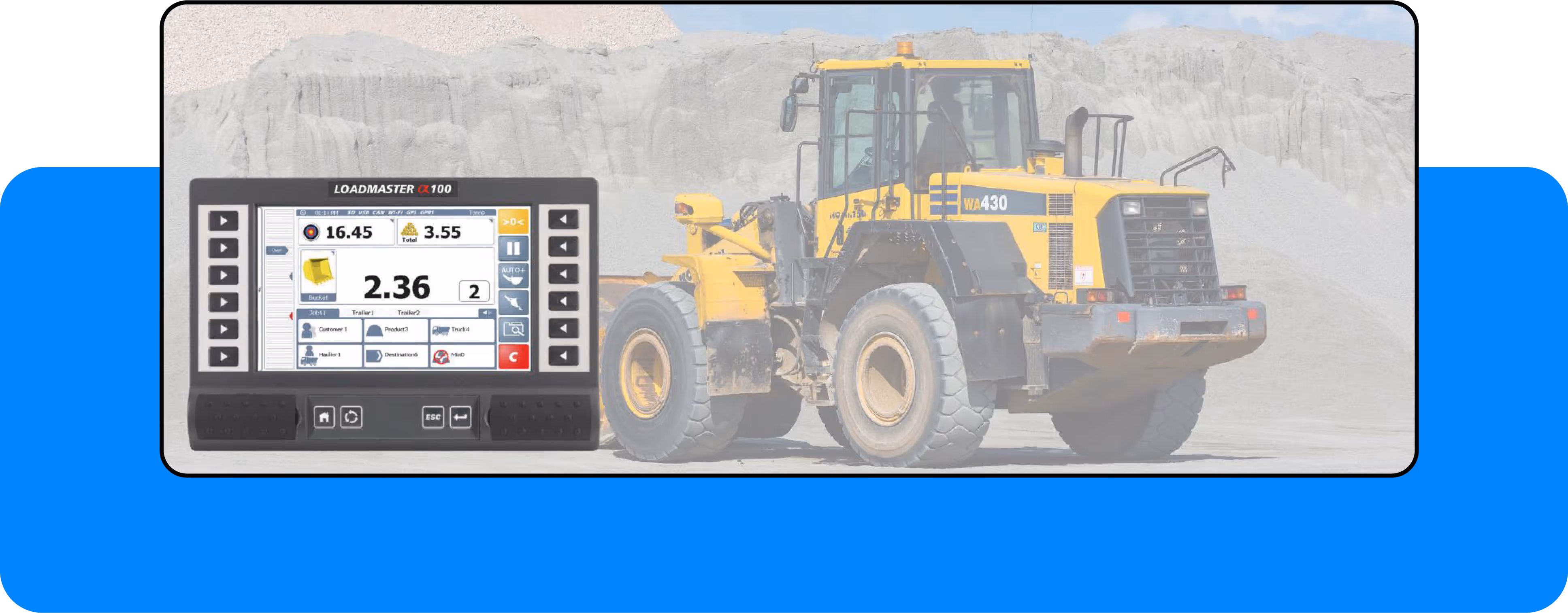
WEIGHING SYSTEMS
On-board weighing system designed for wheeled loaders and excavators. For tons-per-hour performance, greater efficiency, reduced fuel usage, machine and tyre wear.
RDS Payload – Loadmaster Alpha 100 for wheeled loaders.
RDS Loadex 100 for excavators.
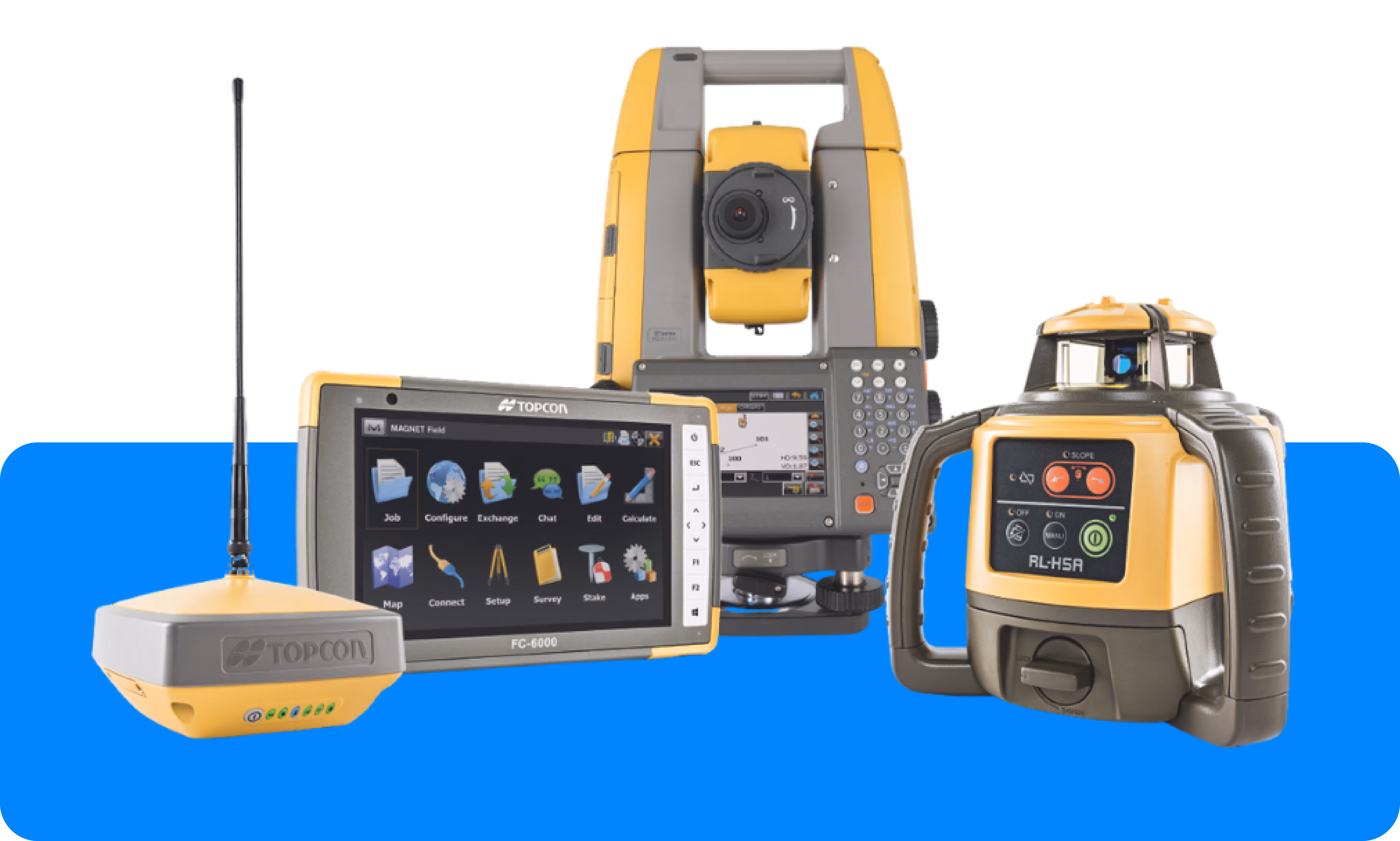
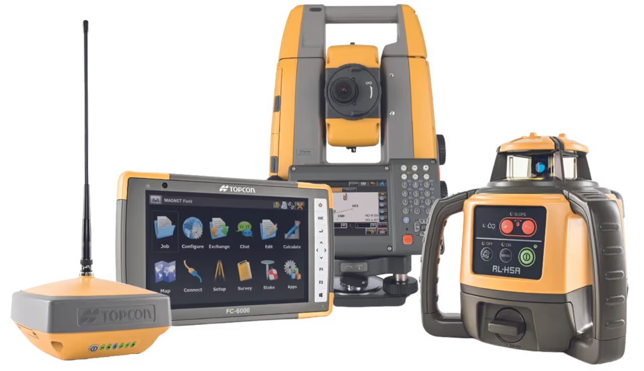
GEOLOCALISATION SYSTEMS
Topcon’s innovative optical and GNSS technology is focused on productivity.
GNSS receiver: Hiper XR
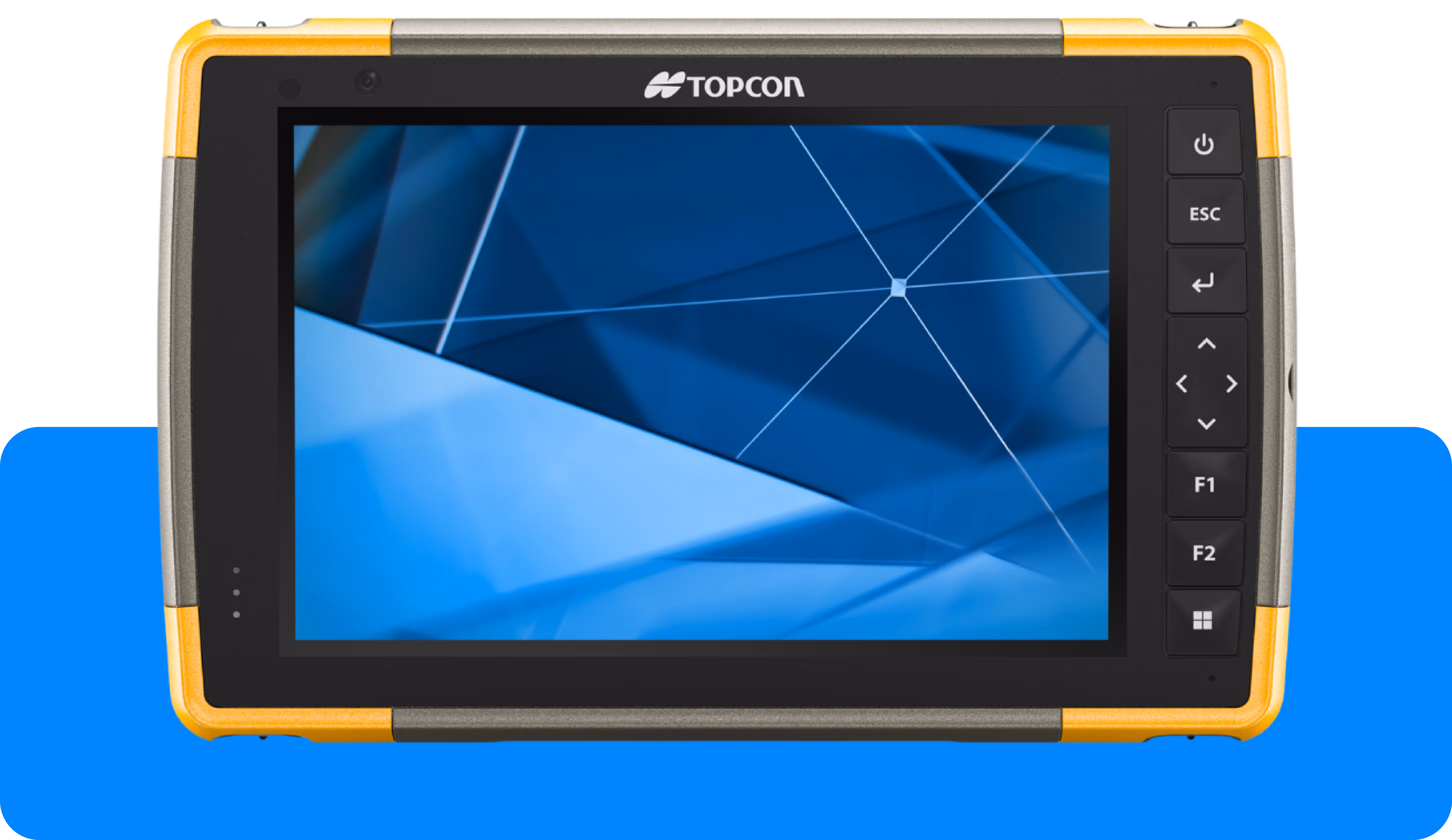
Field notebook: FC-6400
Robotic Total station: GT-1500
Manual Total station: OS-200 & GM-50
Lasers: RL-H5A & RL-HV2S
Auto levels : AT‑B2, AT‑B3 et AT‑B4
Digital Levels : DL‑500
SOFTWARE
The productivity gains through the digitalisation and automation of construction sites.
Sitelink3D™ v2
3D office
MAGNET® Collage
MAGNET® Field
MAGNET® Enterprise
Surveyors and contractors alike use MAGNET Field to collect points, stake out road and site projects, lay out building components, and perform land surveys.
Ability to calculate, contour, and compare surfaces.
Surface staking with automatic Digital Terrain Model creation.
Colorised cut-and-fill indicator and volume calculations.
A secure cloud environment that connects your office and field teams improving your communication and collaboration. Use any web browser to view your data on a map, view redline models, and measure areas and distances.
View connected Topcon devices and transfer real-time data.
See a visual map of projects and geo-referenced datasets.
Seamlessly connect to Topcon’s MAGNET Field and Survey products.
Draft and design property plots, subdivision designs and land-development projects. Process data within an intuitive drafting environment and create simplified or detailed drawing layouts.
Full range of sub-division design tools.
Contour and surface creation, volumetrics and automated pad design.
User-defined title blocks, symbols and line types.
